Sunshiny fall stretch before rain chances, wind pick up
High pressure brings mostly sunny skies before a windy weekend with rain chances.
NWS alerts in effect HERE.
MI DNR burn restrictions HERE.
Drought monitor updates HERE.
Radar, hourly forecasts and more with the free TV6 First Alert Weather App.
Extensive high pressure brings a mostly sunny and dry autumn stretch across Upper Michigan through the work week. However, wildfire danger remains and could elevate to high levels. Increasing rain chances come later this weekend by way of a Canadian Prairies system.
Tonight: Mostly clear and frosty; patchy fog
>Lows: Upper 20s to Lower 40s (less chilly nearshore)
Tuesday: Mostly sunny with light breezes
>Highs: Upper 50s to 60s (cooler north)
Wednesday: Scattered clouds with few rain showers north; light breezes
>Highs: 60s
Thursday: Mostly sunny
>Highs: 60s
Friday: Mostly sunny and warmer
>Highs: 60s/70
Saturday: Scattered clouds with few rain showers west; elevated wildfire potential; windy and warm
>Highs: 60s/70
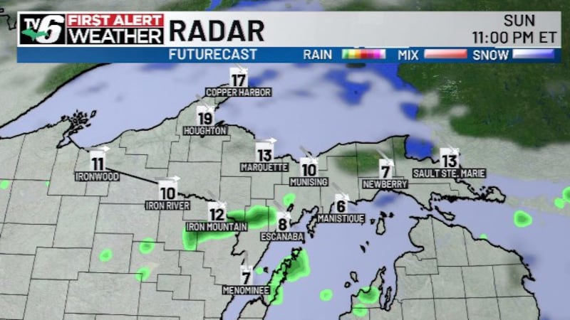
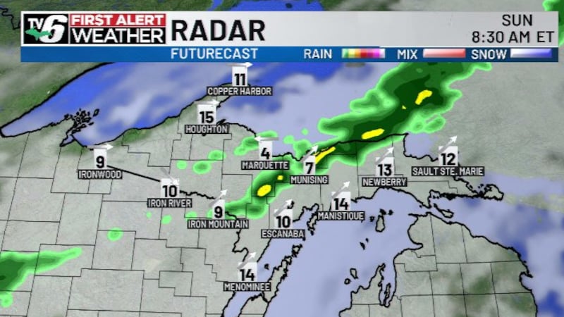
Sunday: Mostly cloudy with scattered rain showers; windy and cooling down late
>Highs: 60s
Monday: Scattered clouds with lake effect rain showers; blustery
>Highs: 50s
Copyright 2026 WLUC. All rights reserved.